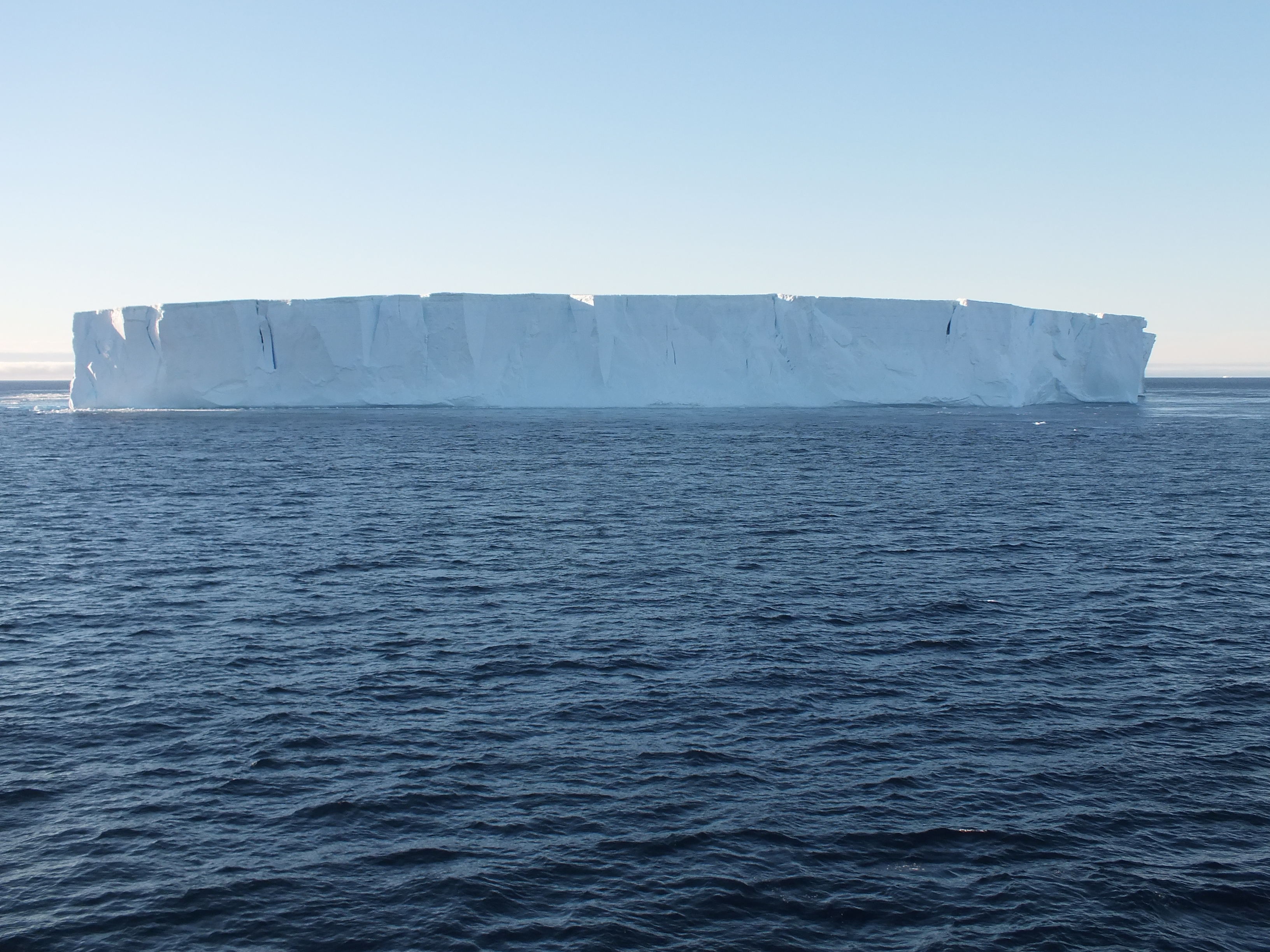
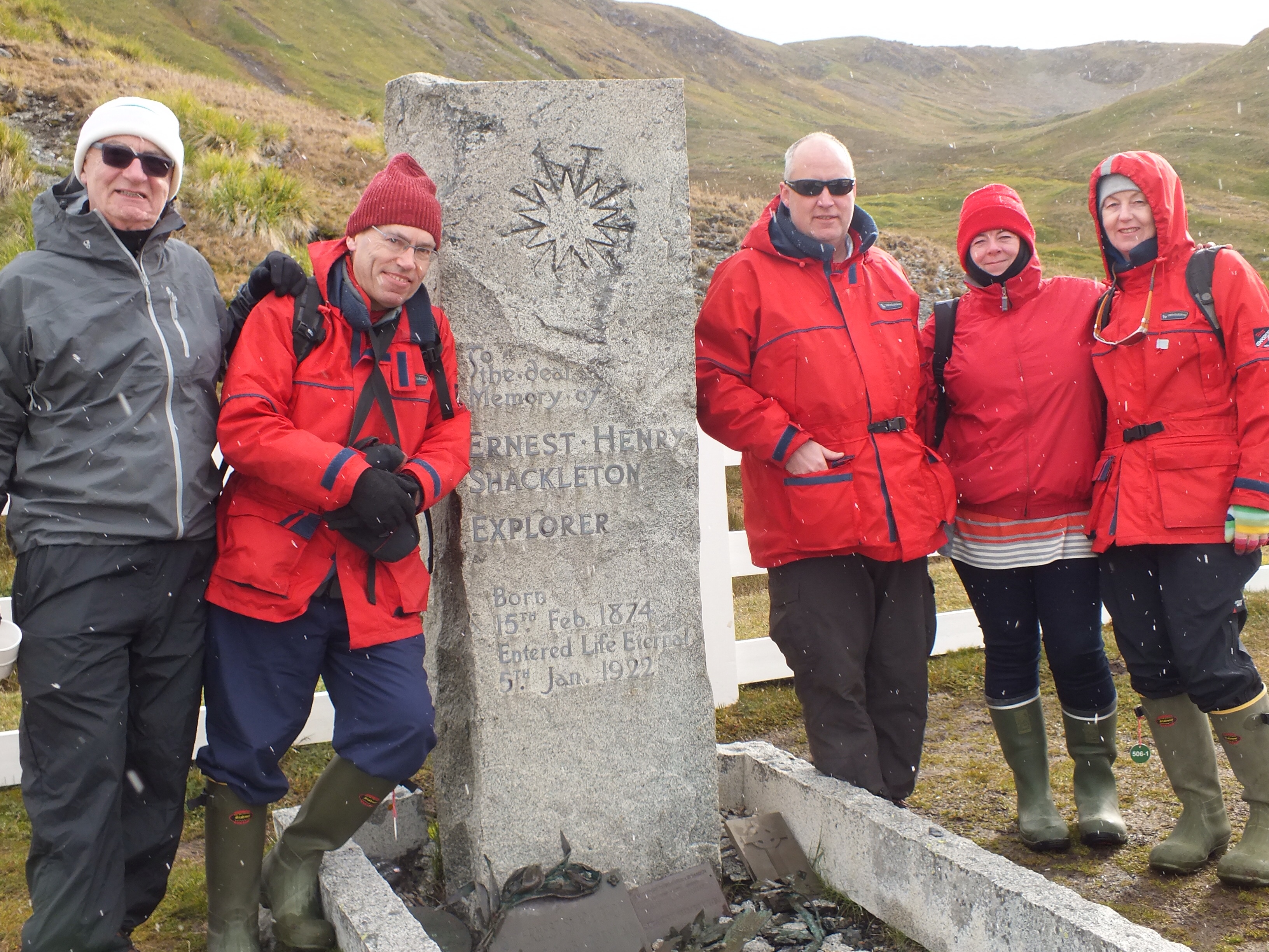
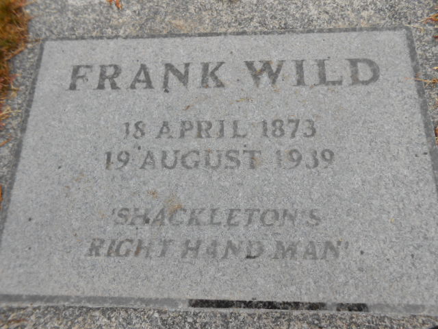
In my previous blog I posted a map of S. Georgia. On this map there is a red line called Shackleton’s Route, stretching from King Haakon Bay to Stromness Bay. For those that might not be familiar with one of Shackleton and Tom Crean’s most famous feats, I’ll give an abridged version as background to this blog.
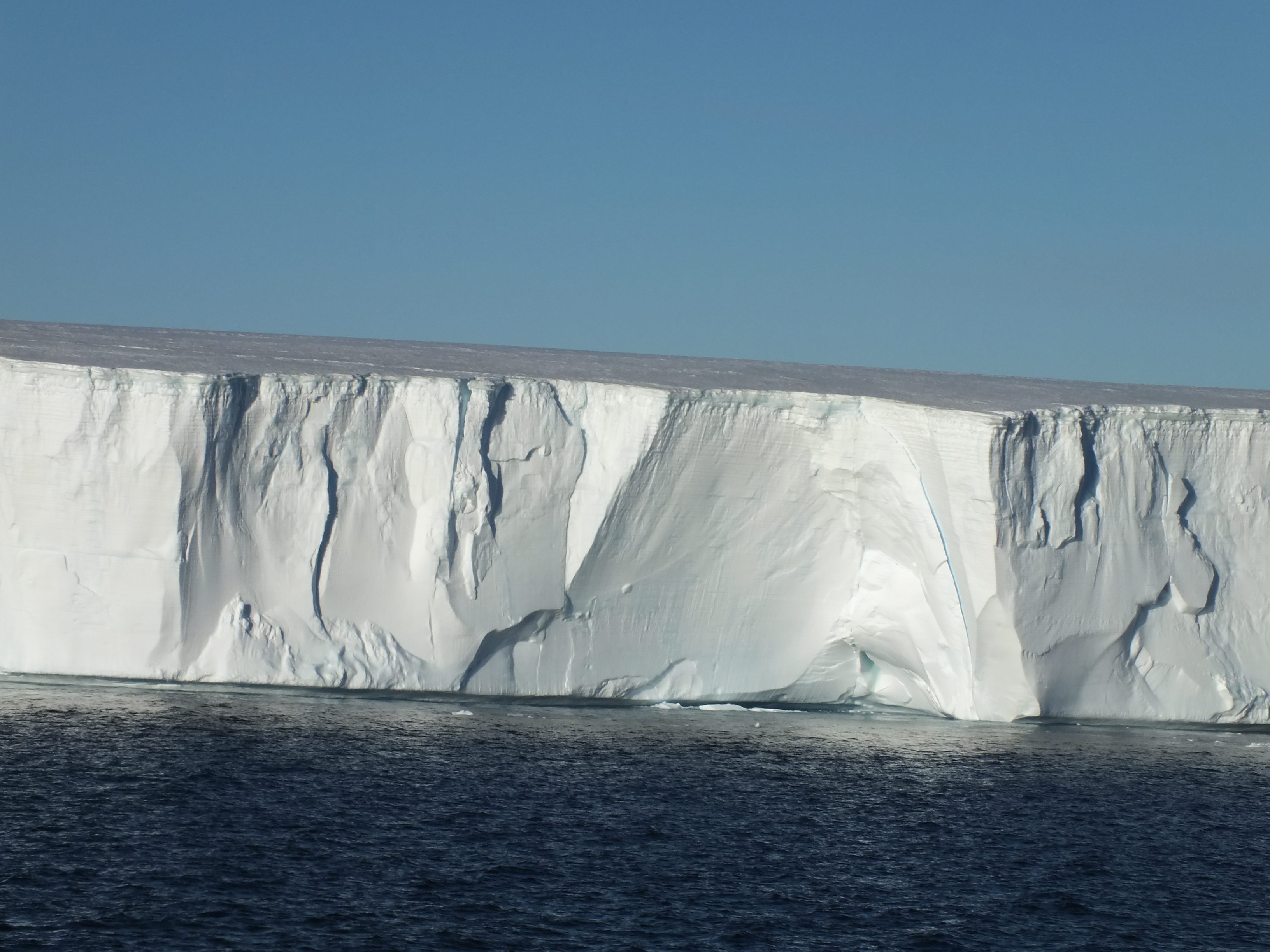
In December 1914, a ship called Endurance, with Shackleton, Crean and 26 others on board, set sail from S. Georgia for Antarctica in an effort to be the first to cross the Antarctic continent from west to east, on foot. Before they hit land, the Endurance got stuck in the ice and was trapped for 9 months before eventually being crushed and sunk. They rescued 3 lifeboats and whatever supplies they could and set off across the ice heading for open sea. They eventually got to open sea (long story) and sailed off in the 3 life boats. Their destination was Paulet Island, where there were supplies left by some previous expedition, but the current pushed them to Elephant Island. They knew no one would look for them there so the only thing for it was to use the prevailing winds and currents and sail to S. Georgia. (Malvinas/Falklands were nearer).
Using bits of all 3 life boats they, cobbled together one seaworthy boat, the James Caird. 6 of them headed off in this and 22 stayed behind, using the remaining bits of boats as shelter. After a gruelling 15 days at sea, and an amazing piece of navigation the 6 finally arrived at Haakon Bay on S. Georgia. Unfortunately, this was the wrong side of the island and the boat was no longer seaworthy. So Shackleton, Crean and Worsley, had to embark on an alpine trek across the island to get to the whaling station in Stromness. They did this by remembering how many bays there were along this coastline. Don’t forget they had left from here 17 months earlier. Anyway, they miscounted and descended from the mountains into Fortuna Bay. So, they had to go back up and across to Stromness. Tough men. They made it.
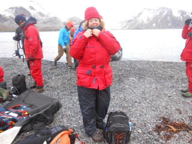
This is where our story begins. So, as part of our cruise we were given the option of retracing the trek from Fortuna to Stromness. We were warned that this was a challenging climb and that the ship would not be waiting in Fortuna but would be sailing on to Stromness. Therefore, once dropped off by Zodiac, there was no turning back. Margaret was well up for this, but I couldn’t believe it when John said he was going too. And since he is 11 years older than me, I felt I had to rise to the challenge. (We did make sure first that the ship’s doctor was also going on the trek). So that just left Patricia – and she wasn’t going to be odd-man-out. Surprisingly, given the average age of the passengers, 39 people put their names down to go.
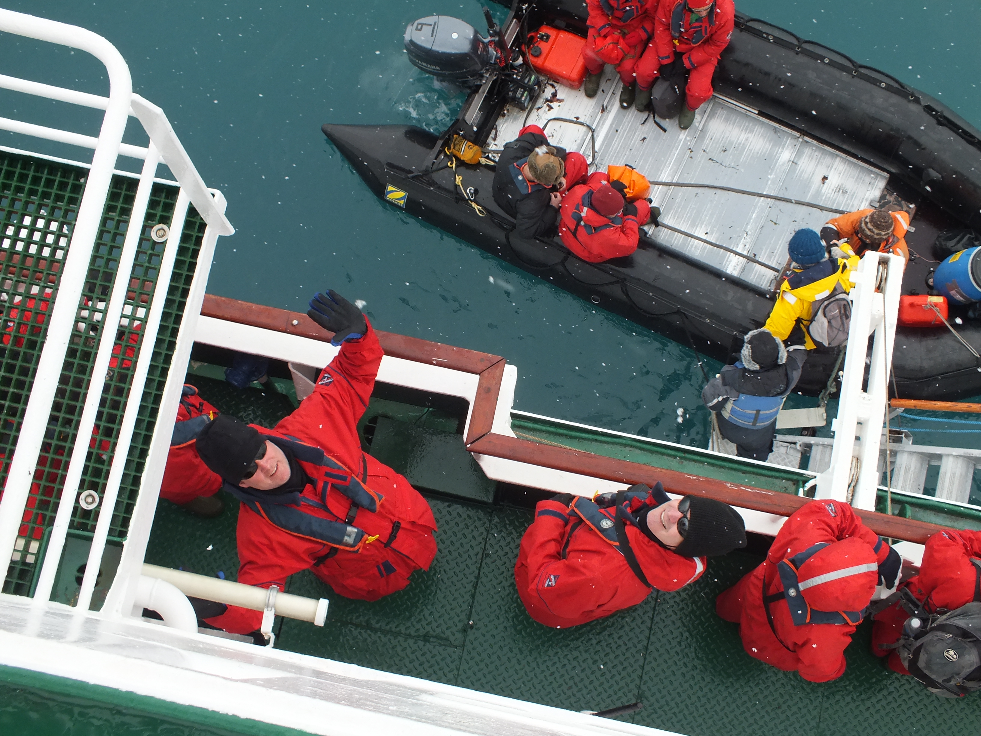
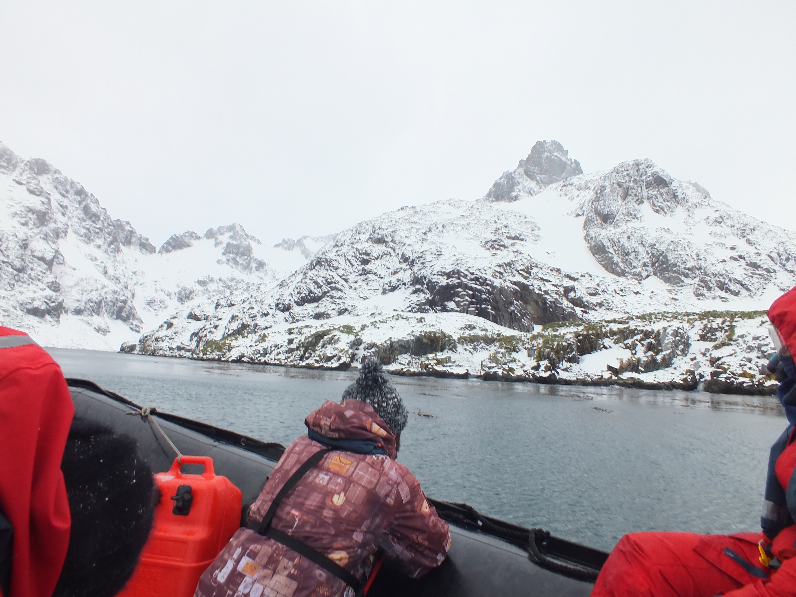
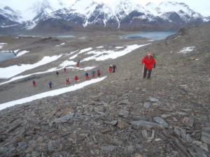
Next morning we were up at 5am for coffee and croissants. A snow storm arrived, a complete white out, and I thanked my lucky stars. But, as with all sailors, the captain had a forecast and knew that this would pass and we would have a 3 hour window before the next storm was due. So, off we went, into the Zodiacs, 37 passengers and 6 guides.

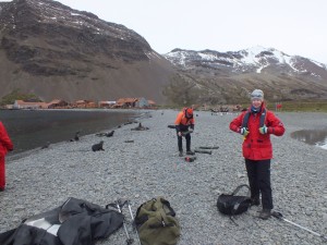
Getting togged out for the climb
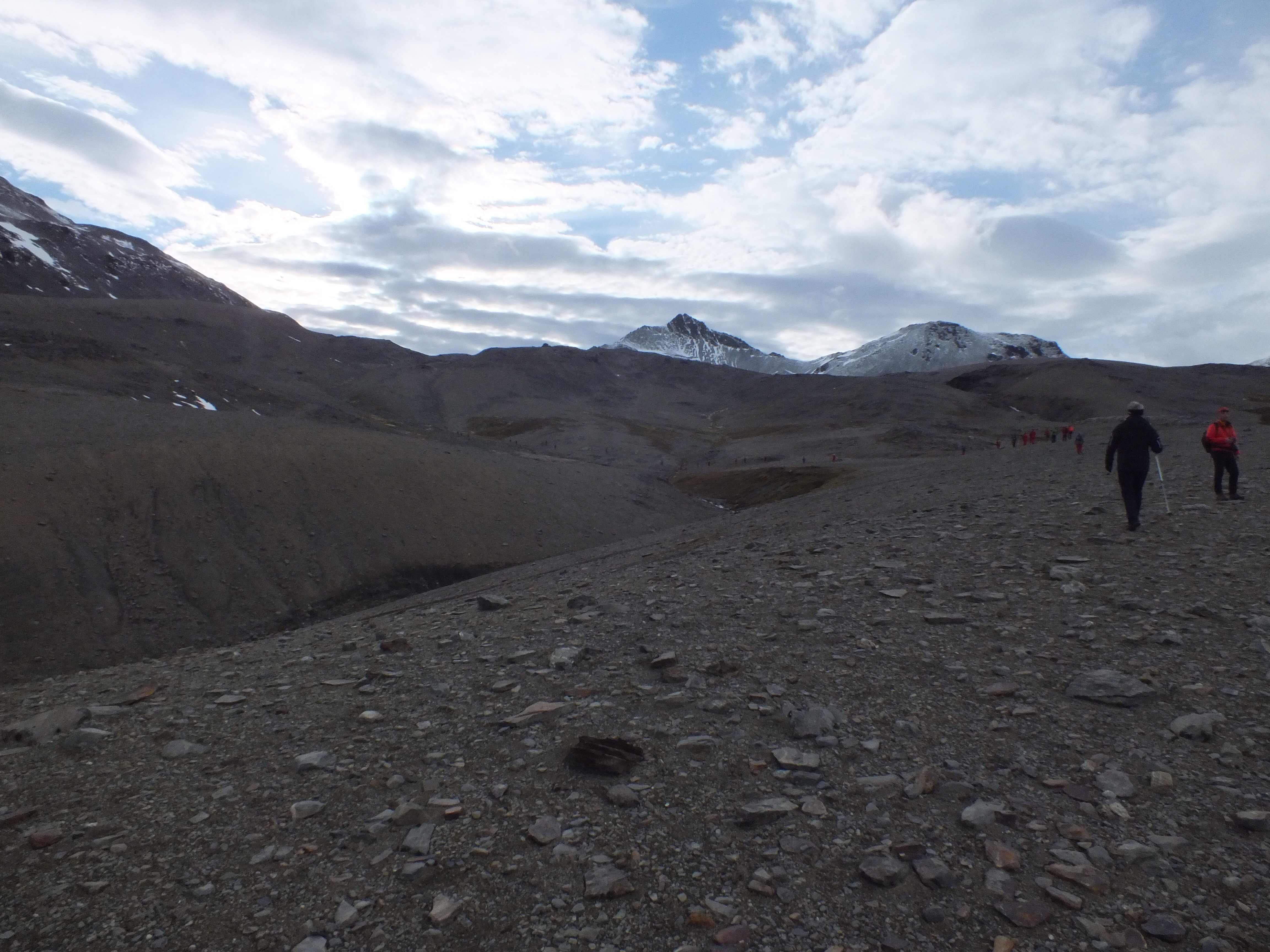
Dark – still very early morning
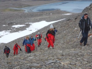
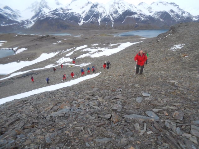
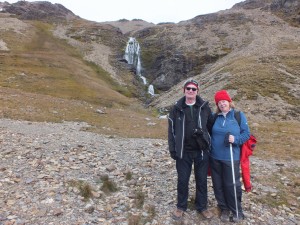
Patricia striding ahead – me (in the blue top) not quite at the back, for a change
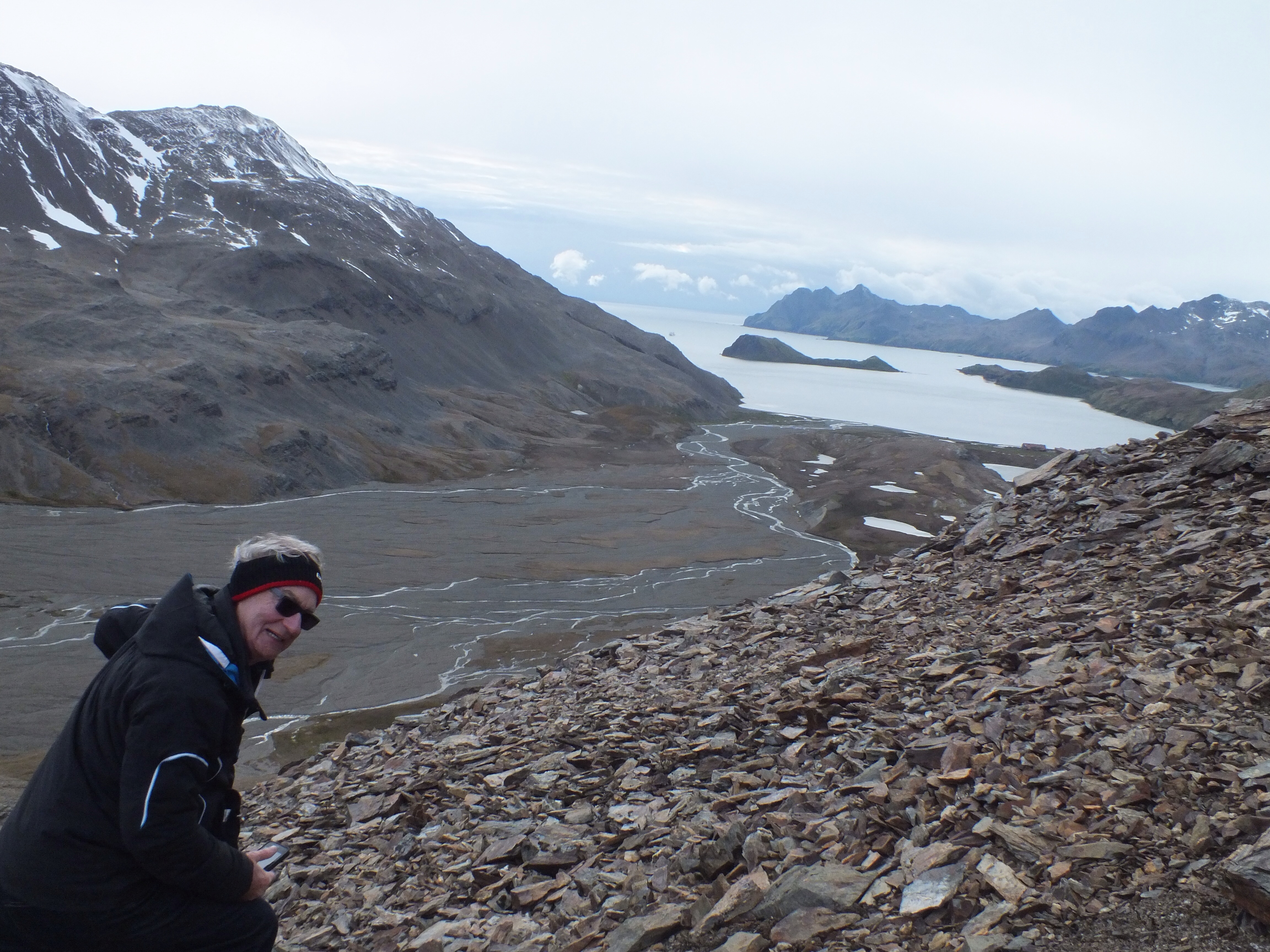
I have to confess to a momentary panic when the empty Zodiacs made their way back to the ship and the anchor was brought up. No going back now. My occasional hill walks in the Dublin mountains were no preparation for this. The first 30 minutes were really steep but I was determined not to be left at the back so started off much too fast. I had a blinding headache after about 10 minutes and thought I was going to die. (I was just recovering from a bad cold, which didn’t help). Margaret was miles ahead at this stage and I didn’t see her again until we got to a plateau at the top. I’m grand on the flat bits. Patricia was also up at the front and John was ahead of me for most of the time too. I just kept thinking of Shackleton and Crean and how they must have felt in their crappy wet clothing, eating seal, and doing this in much more inclement weather.
Corrie lake that Crean fell into
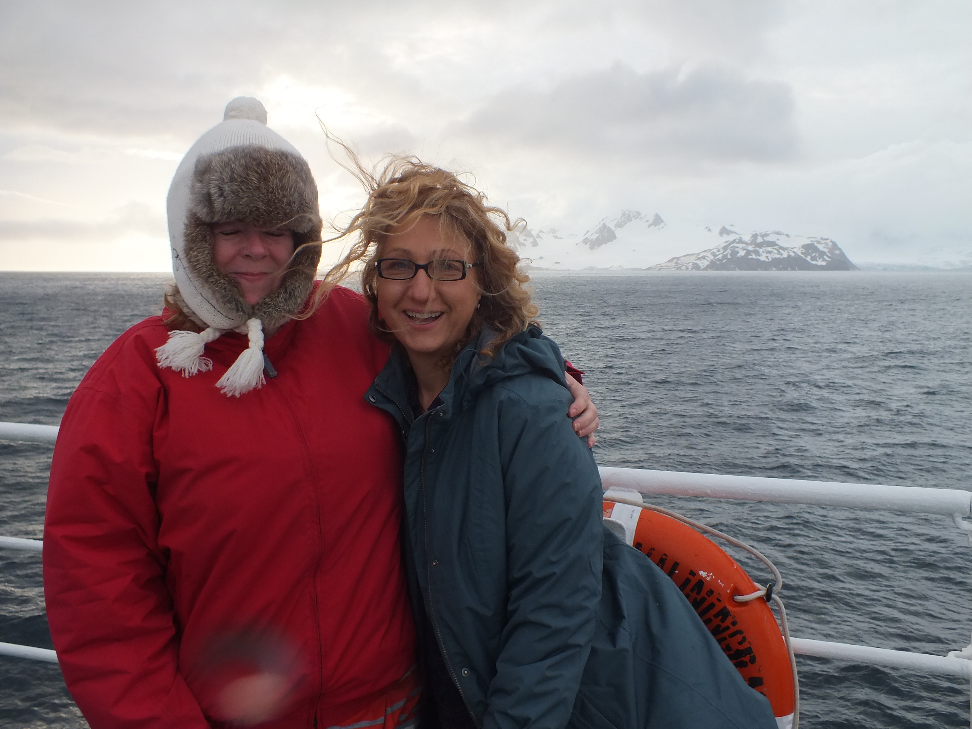
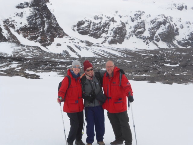
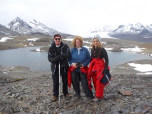
Margaret with Greg and Harry
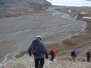
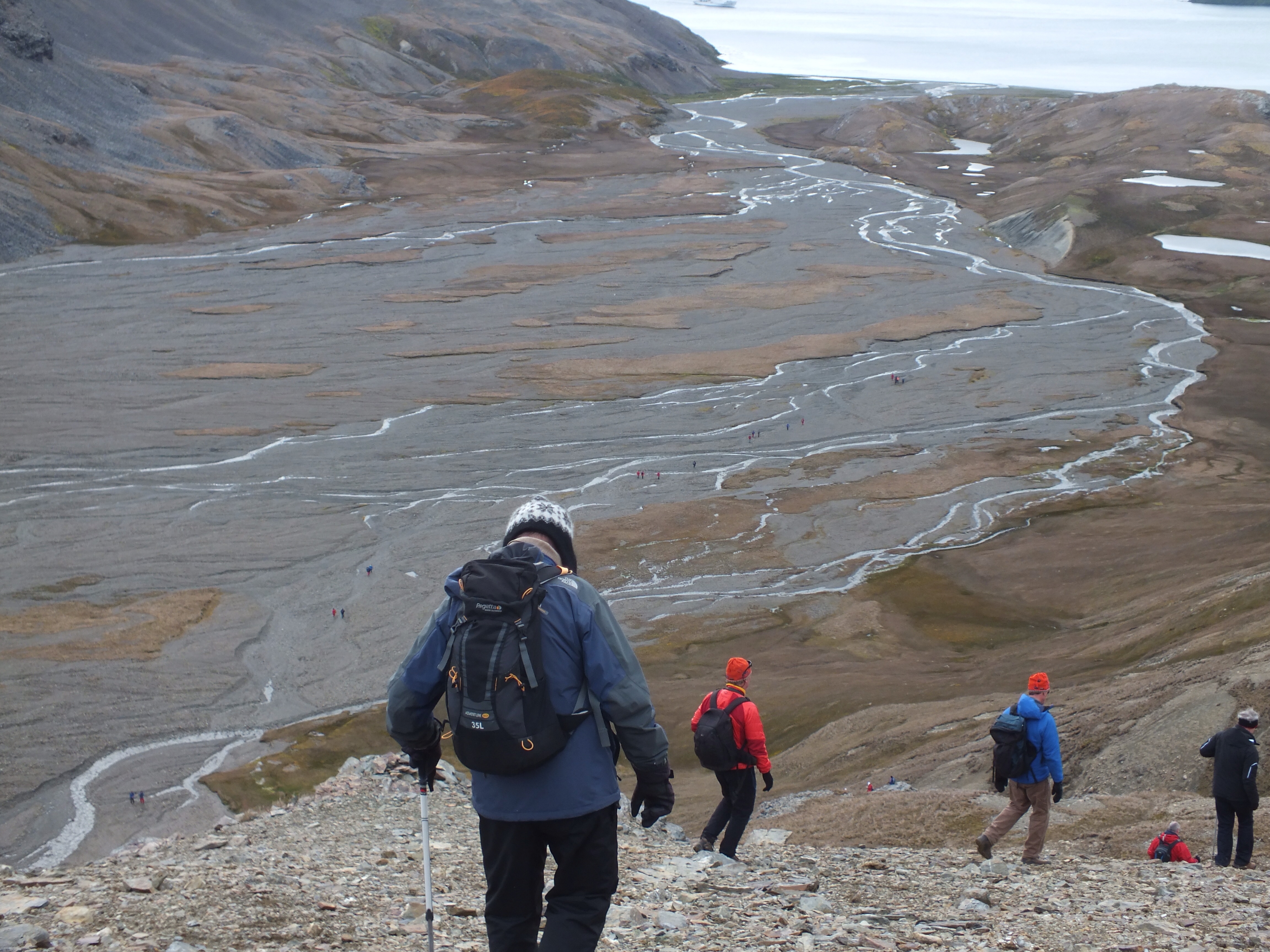
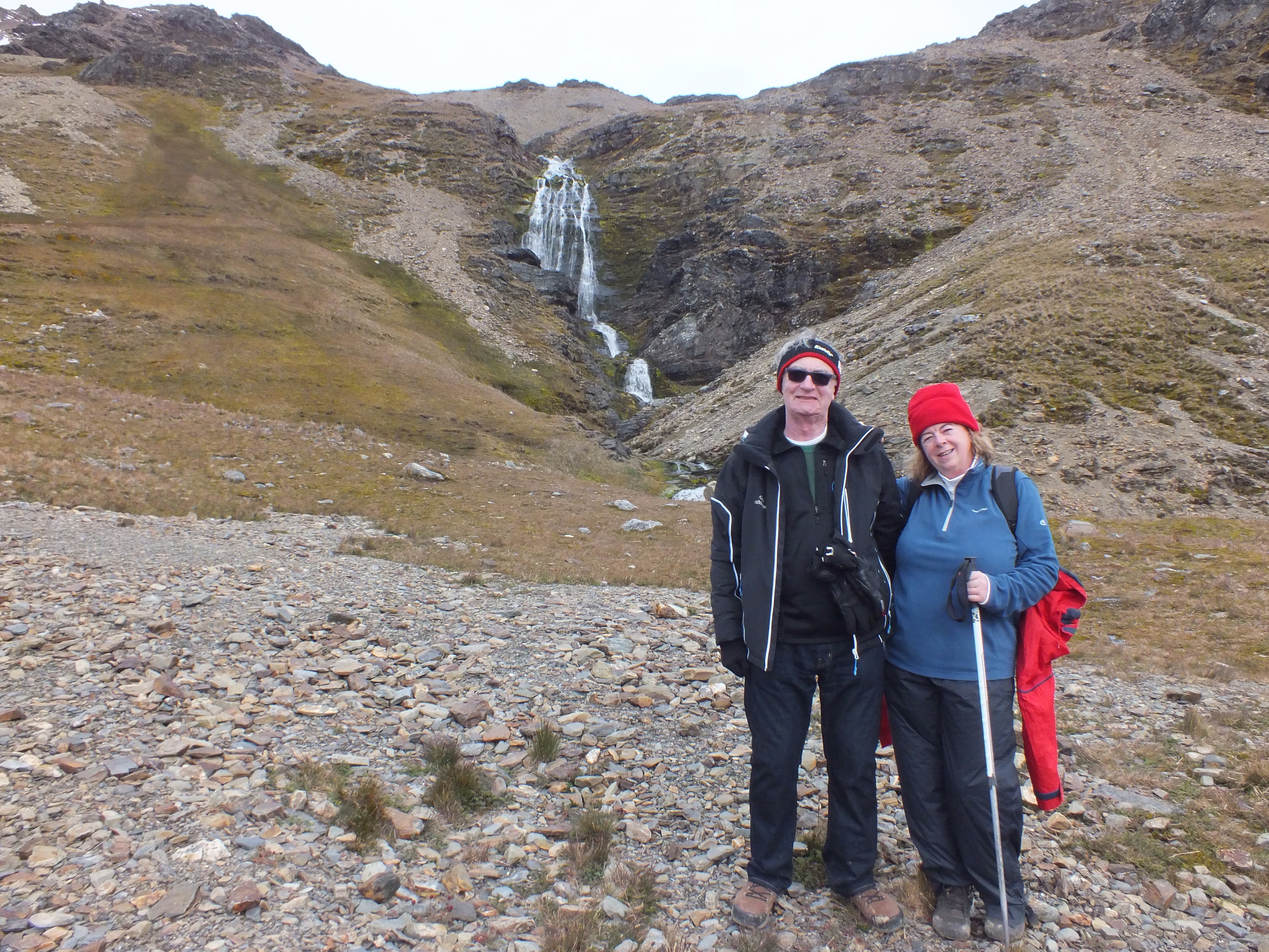
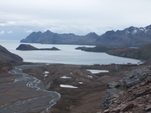
John heading down at last. This was the ridge that Shackleton stood on waiting to hear the whale station horn to guide him down. All the red dots in the delta are the rest of the passengers ahead of us

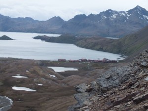
John on the left with the long awaited whaling station in the right hand corner
I have to say, the walk was really well organised by the guides, 2 each at the front, middle and back. The doctor had chocolate for us when we got past the worst incline. Because we had to complete the trek within 3 hours, the pace was fast but those of us at the back were cajoled along nicely.
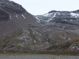
We passed the waterfall that Shackleton, Crean and Worsley descended by rope and we finally stood on the peak where they listened out for the horn of the whaling station. When they heard the horn at 7.00am, after 36 hours of trekking, they shook hands and started the decent!! The views were amazing. I hope I’ve managed to capture them.
Waterfall that Shackleton and his men descended by rope
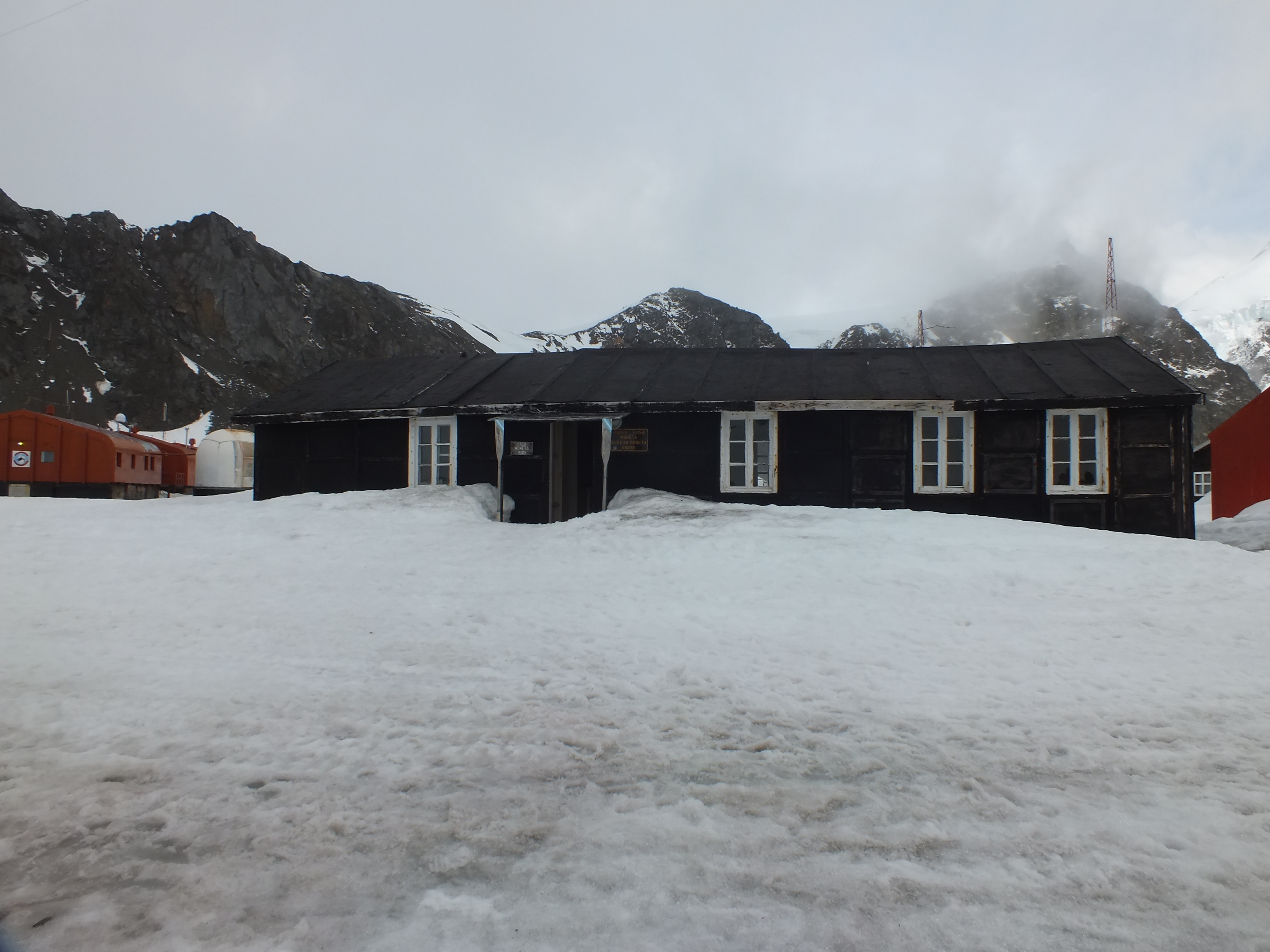
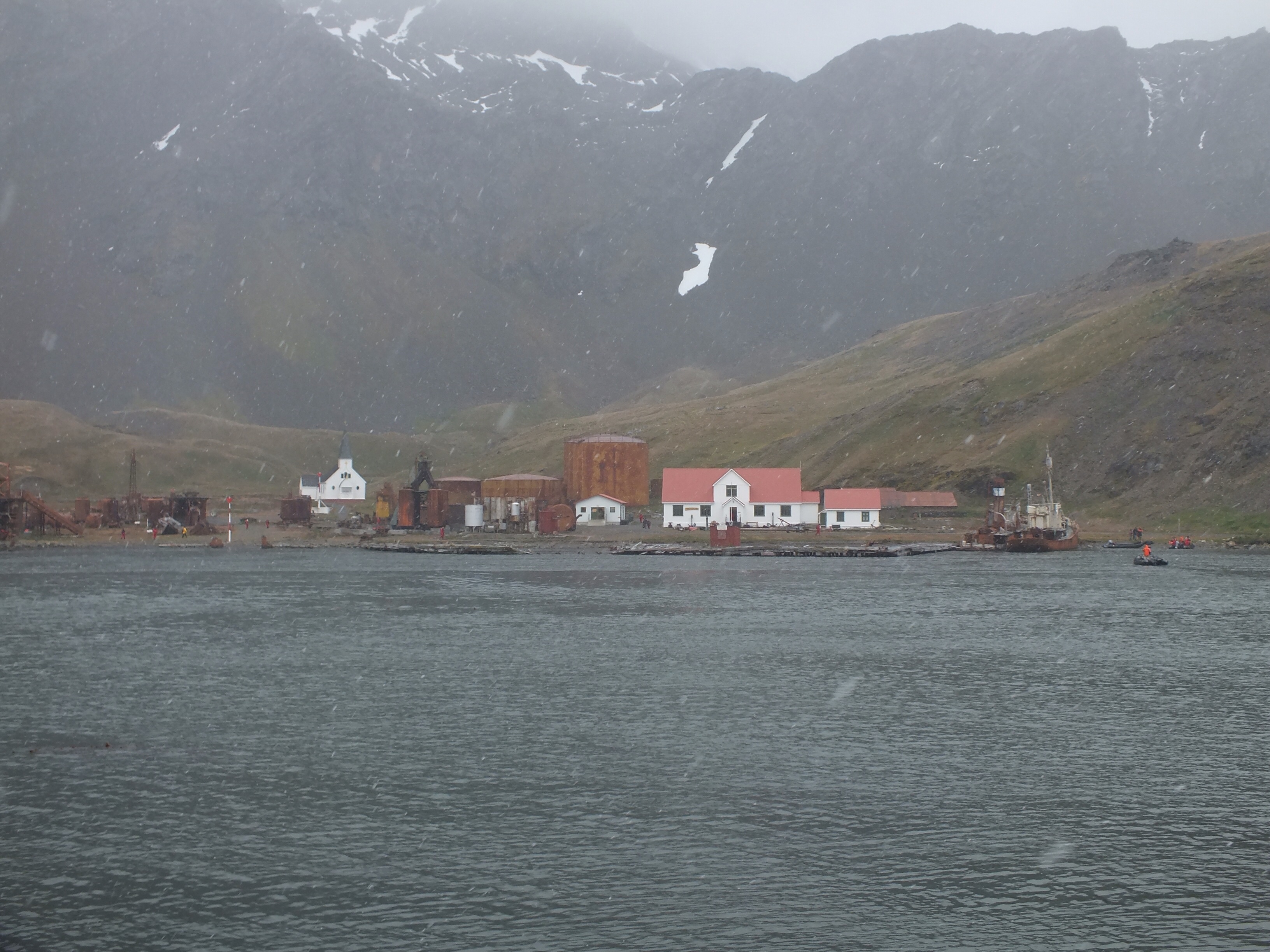
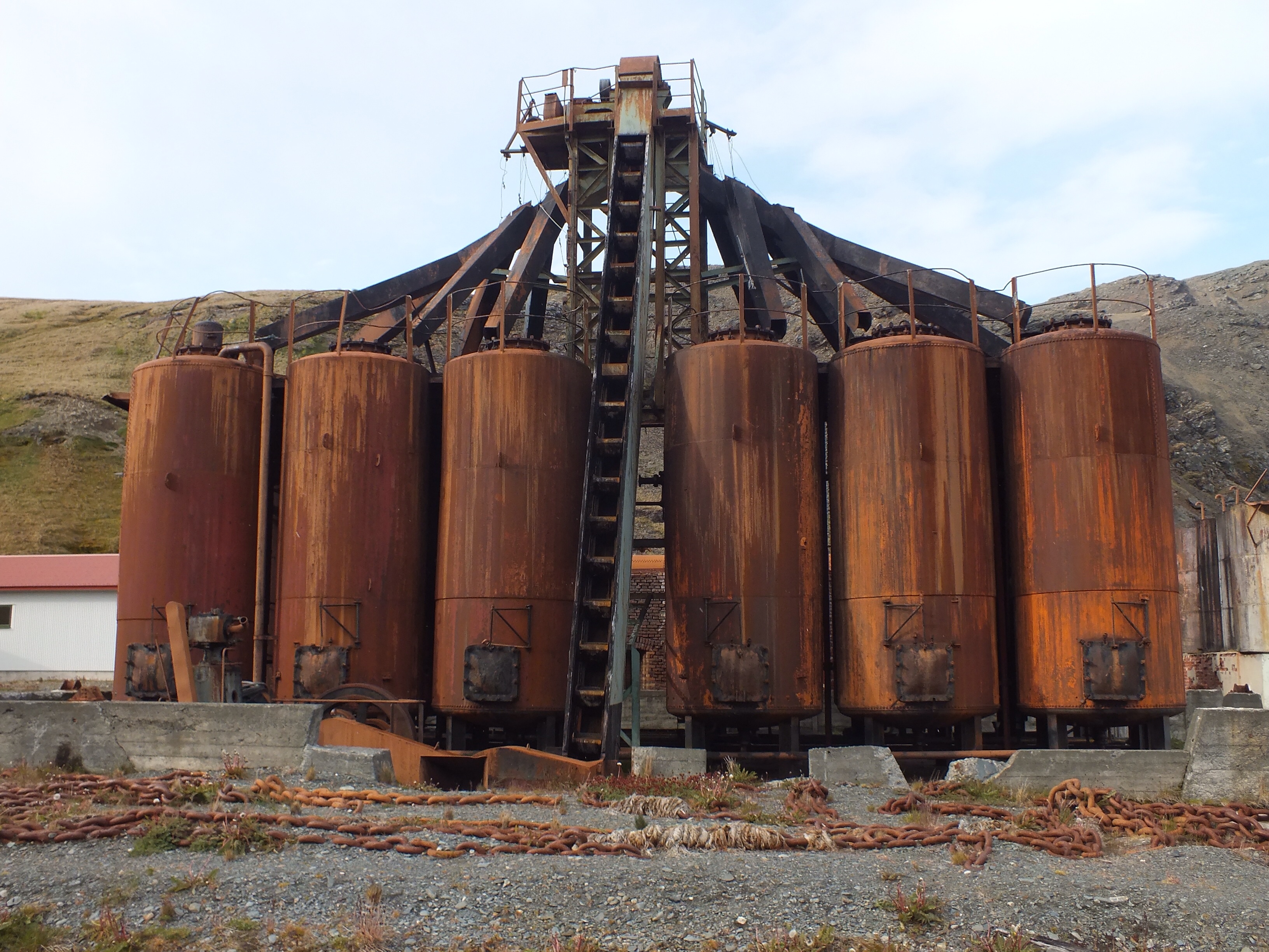
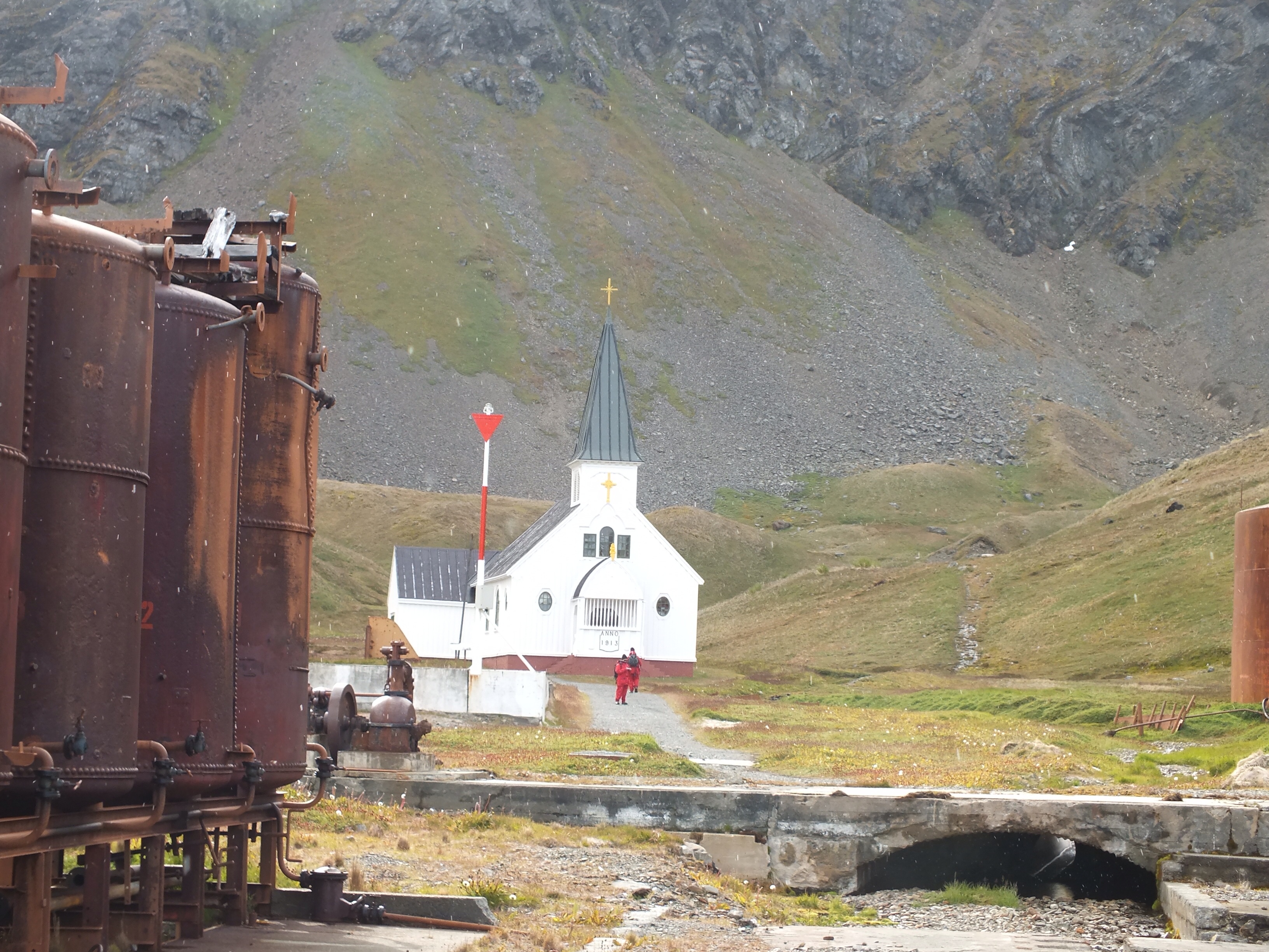
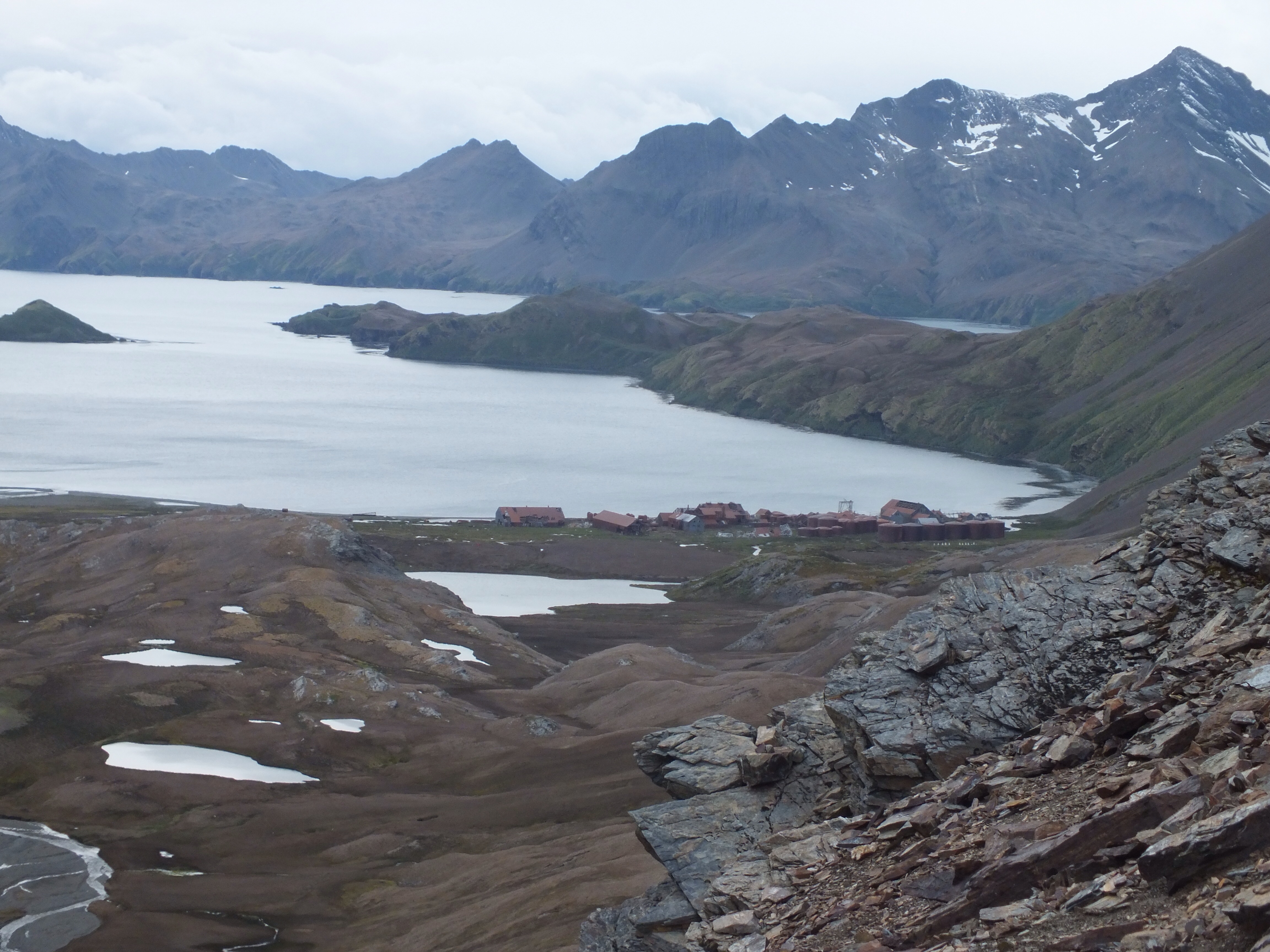
Whaling station getting closer
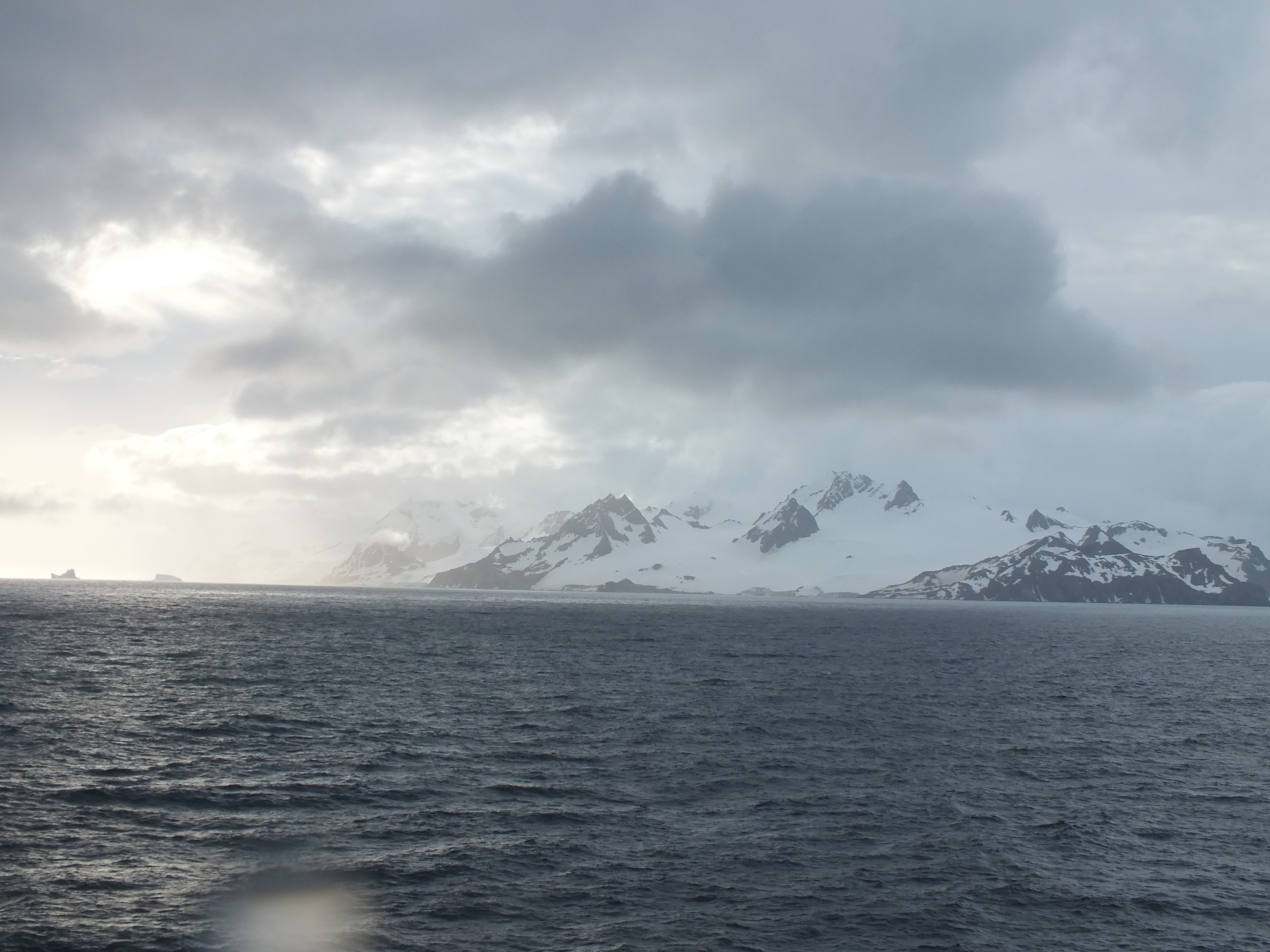
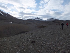
A look back at the ridge we’ve just crossed over
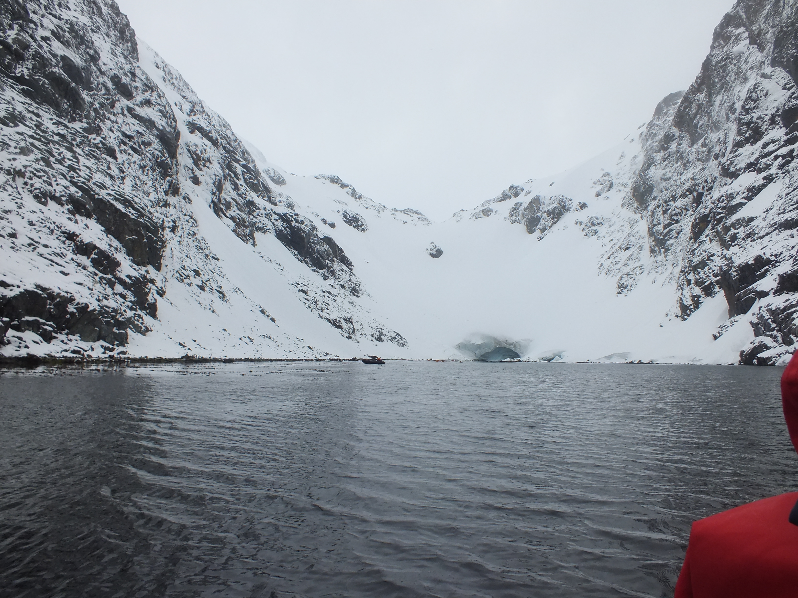
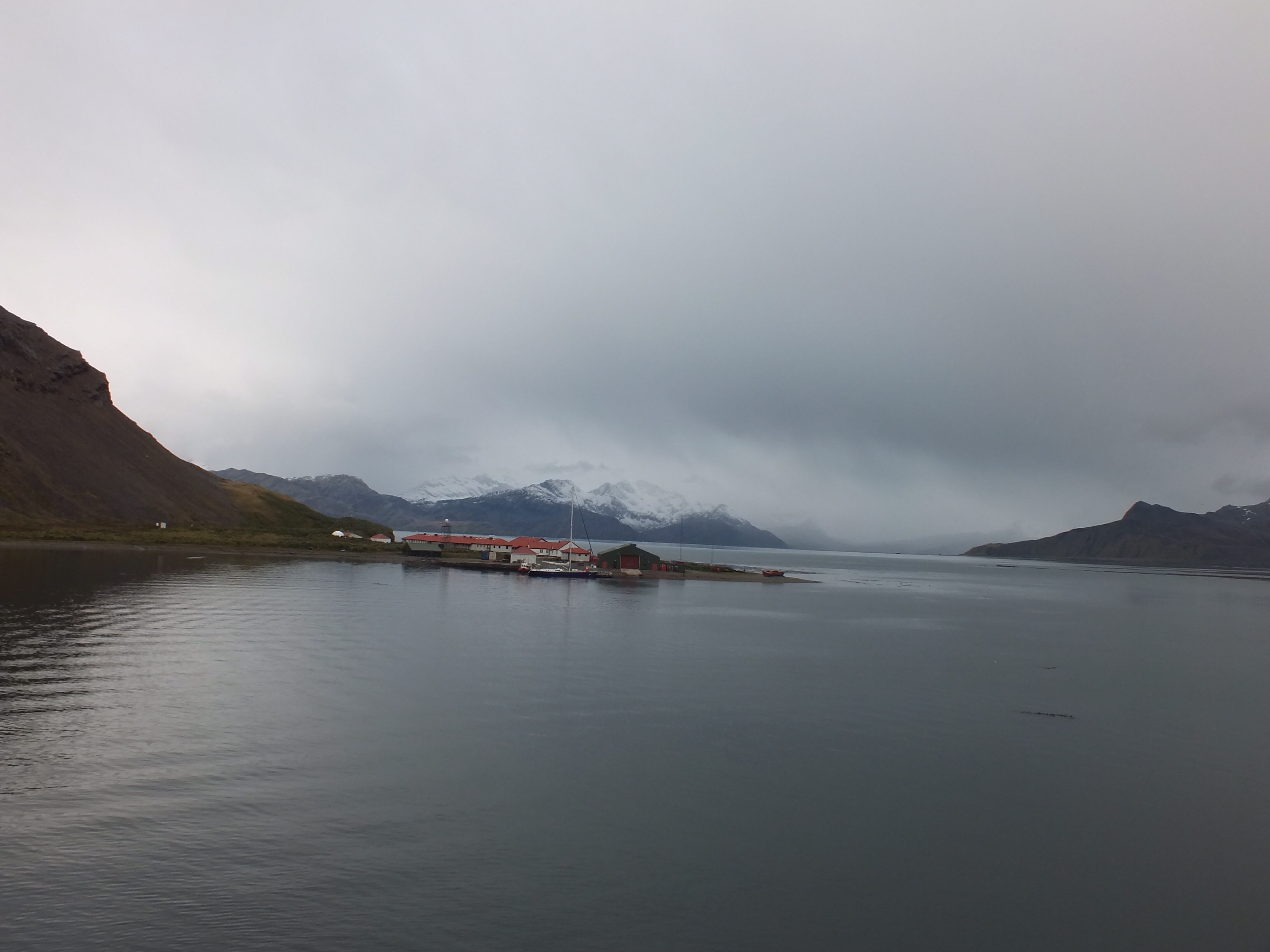
Where’s the ship? Are we to be left here?
We made it to the whaling station after just 2hrs and 45 mins. That was some achievement by all of us. The only one to fall was me – of course – but miraculously no damage done.
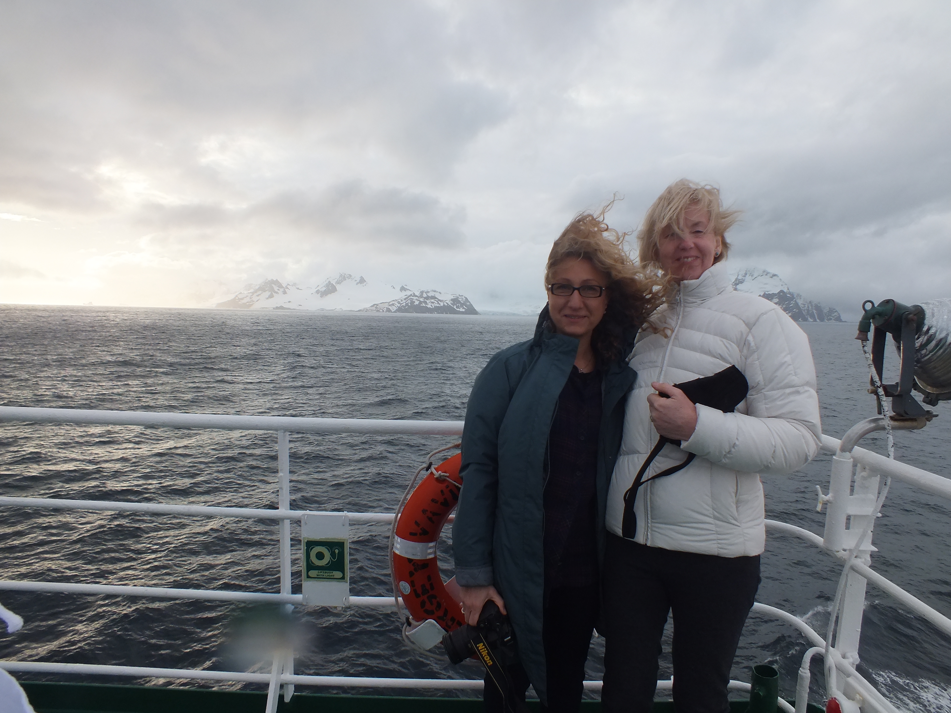
Margaret safely down and getting ready wot back on board Vavilov
We eventually rejoined the ship where they had a huge breakfast waiting for us.